PhOG, School of Marine Science, University of Maine CarICOOS Buoy Monitoring Information
Physical Oceanography Group
School of Marine Sciences
University of Maine

UPRM  Home Page
UVI Home Page
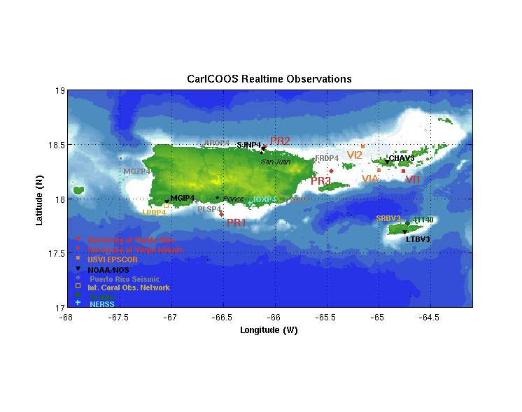
Regional Surface Conditions from PR1, PR2, VI1, VI2, and nearby stations
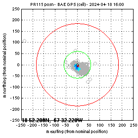
Reports (last 10 days) for PR1 Surface or Ocean or Currents
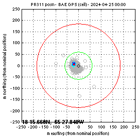
Reports (last 10 days) for PR2 Surface or Ocean or Currents
Reports (last 10 days) for PR3 Surface or Ocean or Currents
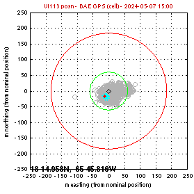
Reports (last 10 days) for VI1 Surface or Ocean or Currents
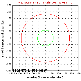
Reports (last 10 days) for VI2 Surface or Ocean or Currents
CARICOOS Observing Stations
Additional Information:
Diagnostics Page: PR1 PR2 PR3 VI1 VI2
Positions: PR1 PR2 PR3 VI1 VI2
Battery Voltage: PR1 PR2 PR3 VI1 VI2
Campbell Table Information


September 2013: The CARICOOS oceanographic data buoy PR3 was deployed north of Vieques Island on 10 September 2013. Real-time data from this buoy are also being provided to NDBC (ID 41056).

March 2013: The EPSCOR US Virgin Islands' oceanographic data buoy VIA (Light List A) was deployed on 7 March at 1500 UTC off the south coast of St. Thomas. Data from this buoy are also being sent to NDBC (ID 41051).

April 2011: The CARICOOS oceanographic data buoy VI1 (Light List C) was deployed on 15 April at 2045 UTC off the south coast of St. John (Virgin Islands) at a depth of 148 feet. Real-time data provided by this buoy will include wind measurments, air temperature, atmospheric pressure, wave informtion, near-surface water temperature and salinity observations, and ocean currents throughout the water column. This buoy is supported by the University of Virgin Islands and National Oceanic and Atmospheric Administration's (NOAA) Integrated Ocean Observing System (IOOS) office.

July 2010: The CARICOOS oceanographic data buoy PR2 (List List B) has been deployed on 23 July at 1410 UTC off the north coast of Puerto Rico near San Juan at a depth of 110 feet. Real-time data provided by this buoy will include wind measurements, air temperature, atmospheric pressure, wave information, near-surface water temperature and salinity observations, and ocean currents throughout the water column. This buoy is supported by the National Oceanic and Atmospheric Administration's (NOAA) Integrated Ocean Observing System (IOOS) office.

June 2009: The CARICOOS oceanographic data buoy PR1 (Light List A) has been deployed on 9 June 2009 at 1340 UTC by University of Puerto Rico Mayaguez and University of Maine personnel. It is installed on the south coast of Puerto Rico, in the vicinity of the port of Ponce, at a site 2 nautical miles south of Caja de Muertos Island at a depth of 55 feet. Real-time data provided by this buoy will include wind measurements, air temperature, atmospheric pressure, wave information, near-surface water temperature and salinity observations, and ocean currents throughout the water column. This buoy is supported by the National Oceanic and Atmospheric Administration's (NOAA) Integrated Ocean Observing System (IOOS) office.


CARICOOS Buoy PR101 (Light List A) on the dock before deployment Second view of CARICOOS buoy PR101 on the dock before deployment


Questions? Contact the Webmaster

CarICOOS Home NOAA IOOS