
|
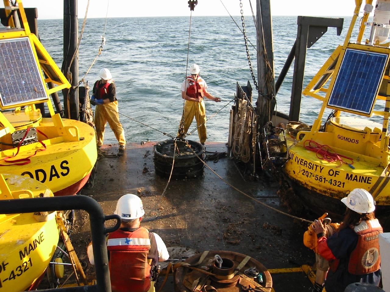
GoMOOS Buoy Cruise GM030920 Physical Oceanography Group School of Marine Sciences University of Maine |
|
|
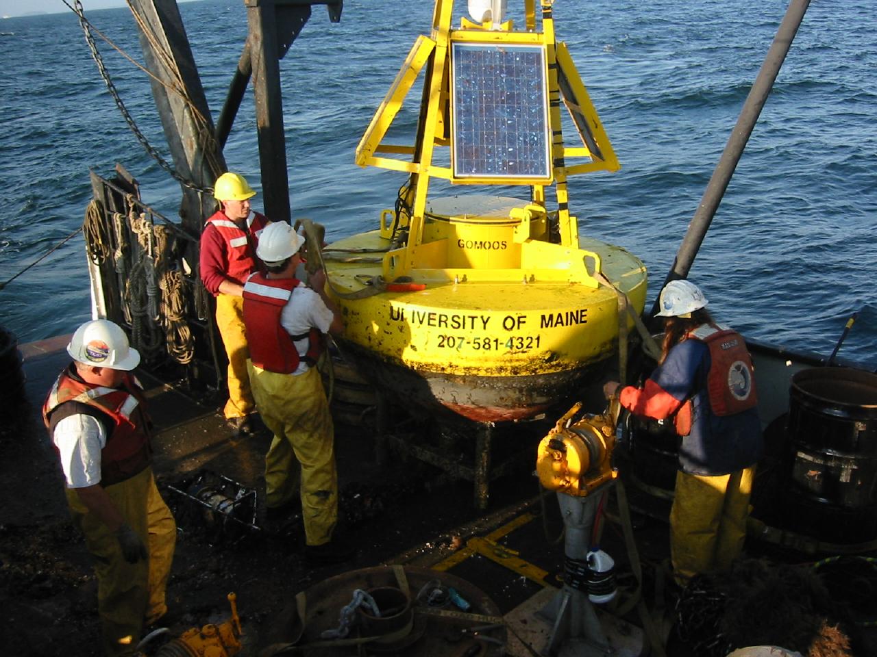
GoMOOS Buoy Cruise GM030920 Physical Oceanography Group School of Marine Sciences University of Maine |
| Location | Mooring ID | Date/Time (UTC) | Latitude | Longitude | Water Depth (m) |
|---|---|---|---|---|---|
| Saint John | K0104 | 2003-09-24 11:55 | 45° 12.27´N | 066° 0.88´W | 25 |
| Cobscook Bay | J0204 | 2003-09-24 20:30 | 44° 53.47´N | 067° 1.04´W | 35 |
| Eastern Maine Shelf | I0105 | 2003-09-25 11:19 | 44° 6.35´N | 068° 6.52´W | 100 |
| W.Penobscot Bay | F0106 | 2003-09-25 20:21 | 44° 3.33´N | 068° 59.89´W | 110 |
| Location | Mooring ID | Date/Time (UTC) | Latitude | Longitude | Water Depth (m) |
|---|---|---|---|---|---|
| Cobscook Bay | J0205 | 2003-09-24 23:24 | 44° 53.45´N | 067° 0.78´W | 35 |
| Eastern Maine Shelf | I0106 | 2003-09-25 15:08 | 44° 6.35´N | 068° 6.52´W | 100 |
| W.Penobscot Bay | F0107 | 2003-09-25 22:47 | 44° 3.33´N | 068° 59.89´W | 110 |
| NERACOOS Home | Latest Buoy Data | U.Maine Buoys | U.Maine CODAR | GOM Weather | GOM Wave Modeling | Related Links | Software | Mooring Group | PhOG home |