|
Latest Gulf of Maine Observations from GoMOOS, NOAA, and Environment Canada Physical Oceanography Group School of Marine Sciences University of Maine |
|
| Due to federal funding shortfalls, several of the GoMOOS buoys will likely be removed during the fall 2008 deployment. Please click here for more information on this situation and efforts that are underway to prevent this from happening. |
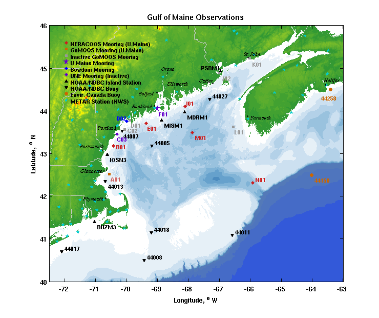
Moving your mouse cursor over the top of a buoy (without clicking) will display the latest observations for that buoy to the right of the map. Clicking on the buoy will lead to a more detailed page which describes many more variables being measured at said buoy.
|
GoMOOS Buoy Home Page (U.Maine)
Last 10 days of data in graphical form (GoMOOS/NDBC/Env.Can): Regional Plots
Last 10 days of data in digital form (GoMOOS buoys): Text Reports
Data from the GoMOOS moored buoys (red circles) are received and processed hourly at the University of Maine. Data from NOAA C-MAN stations and moored buoys(black triangles), as well as Environment Canada moored buoys, (orange circles) are downloaded from NDBC on an hourly basis.
Questions? Contact the Webmaster| GoMoos Home | Latest Buoy Data | GoMoos Buoys | GoMoos CODAR | GOM Weather | GOM Wave Modeling | Related Links | Software | Mooring Group | PhOG home |