| Event | Date | Time UTC | Latitude | Longitude | Comments |
| Depart Boothbay | 08/13/00 | 20:00 | - | - | Start of CH-17 |
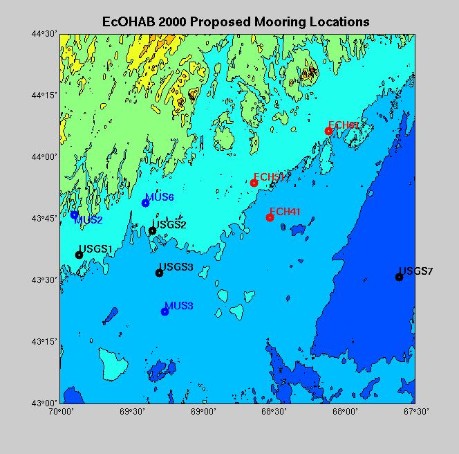
| Recover USGS01 Mooring | 08/13/00 | 22:00 | 43° 36.67´N | 69° 51.89´W | CTD#1 |
| Recover Mussel Mooring-3 | 08/13/00 | 02:40 | 43° 22.37´N | 69° 15.76´W | CTD#2 |
| Recover USGS-7 | 08/13/00 | 10:38 | 43° 30.77´N | 67° 36.71´W | CTD#3 |
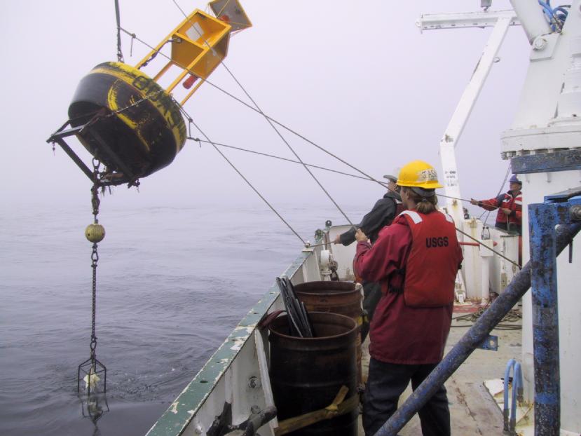
| Recover USGS Mini-Pod | 08/13/00 | 13:00 | 43° 30.83´N | 67° 36.68´W | - |
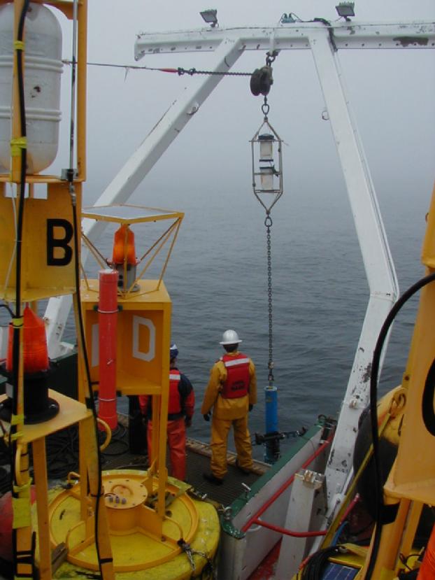
| Recover ECH-61 | 08/13/00 | 17:40 | 44° 06.42´N | 68° 06.00´W | CTD#4 |
| Recover ECH-51 | 08/13/00 | 21:10 | 43° 53.90´N | 68° 38.25´W | CTD#5 |
| Recover ECH-41 | 08/14/00 | 00:15 | 43° 45.28´N | 68° 31.33´W | CTD#6 |
| Recover USGS-2 | 08/14/00 | 12:25 | 43° 42.03´N | 69° 21.29´W | CTD#7 |
| Recover USGS-3 | 08/14/00 | 14:20 | 43° 31.34´N | 69° 18.02´W | CTD#8 |
| End of Operations | 08/14/00 | 15:35 | - | - | |
| Arrive Woods Hole | 08/16/00 | 10:00 | - | - | End of CH-17 |
| Rick Signell, Chief Scientist | USGS |
| John Borland | USGS |
| Jason Hyatt | USGS |
| Neal Pettigrew | U. Maine |
| Dave Townsend | U. Maine |
| John Wallinga | U. Maine |
| Linda Mangum | U. Maine |
| John Spiers | U.Maine |